No Photo
Property Record
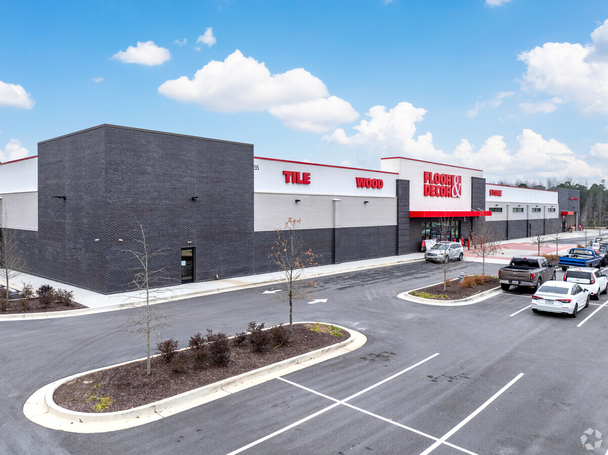
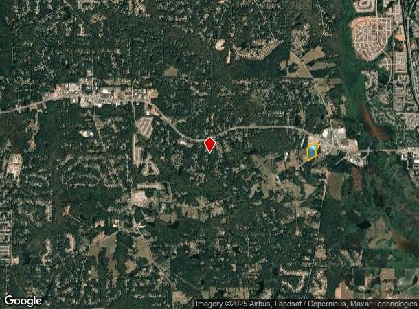
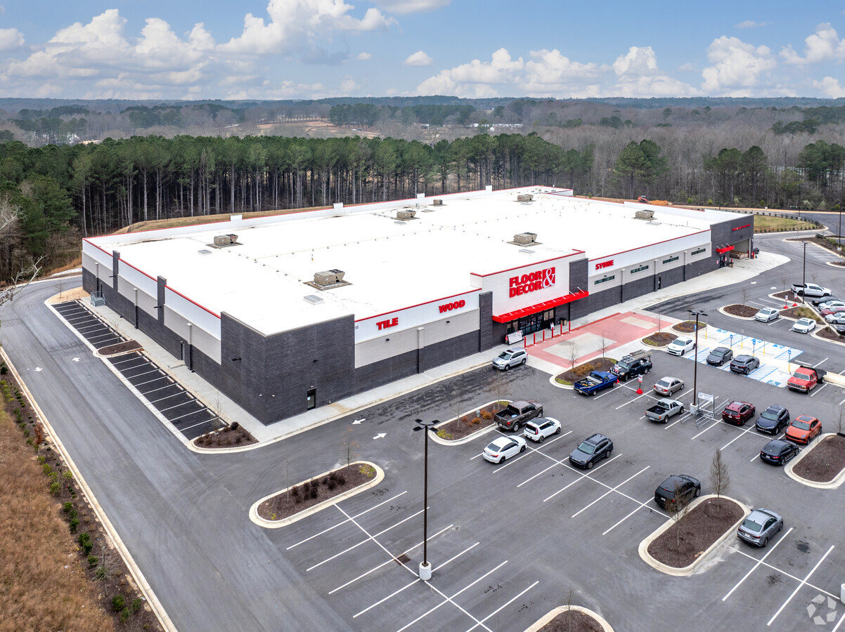
80 E Fischer Rd, Sharpsburg, GA 30277
NEARBY LISTINGS FOR SALE OR LEASE
Property Detail
80 E Fischer Rd
Atlanta-Sandy Springs-Roswell, GA
Survey Tango Whiskey Llc 01
145-6133-016
28.66 ACS TR B C COWETA
Storemultistory
Coweta
X
Georgia
13077C0170D
133
2023
28.66 AC
2023
Coweta County
170501
Atlanta
80,564 SF
DEMOGRAPHICS near 80 E Fischer Rd
1 Mile
3 Mile
5 Mile
2024 Total Population
828
24,576
65,959
2029 Population
918
26,466
71,317
Pop Growth 2024-2029
+ 10.87%
+ 7.69%
+ 8.12%
Average Age
44
42
42
2024 Total Households
297
8,939
24,353
HH Growth 2024-2029
+ 11.11%
+ 7.70%
+ 8.09%
Median Household Inc
$94,117
$108,585
$98,671
Avg Household Size
2.80
2.70
2.70
2024 Avg HH Vehicles
3.00
2.00
2.00
Median Home Value
$359,876
$380,208
$338,999
Median Year Built
1993
1994
1993
Nearby Places
- Restaurants
- Banks
- Shops
- Fitness
- Groceries
PUBLIC TRANSPORTATION
AIRPORT
Hartsfield - Jackson Atlanta International
DRIVE
WALK
Distance
Hartsfield - Jackson Atlanta International
40 min
29.8 mi
Freight Ports
Georgia Ports - Savannah
DRIVE
WALK
Distance
Georgia Ports - Savannah
292 min
249.3 mi
SALE & LEASE HISTORY
LISTING DATE
SALE/LEASE

Jun 07, 2022
For Sale
Nearby Properties
Address
Land Use
TOTAL SIZE
Lot Size
Zoning
Address
Land Use
TOTAL SIZE
Lot Size
Zoning
171,535 SF
27.60 AC
C GC
Address
Land Use
TOTAL SIZE
Lot Size
Zoning
155,422 SF
25.37 AC
001
Address
Land Use
TOTAL SIZE
Lot Size
Zoning
71,888 SF
23.48 AC
R1
Address
Land Use
TOTAL SIZE
Lot Size
Zoning
121,290 SF
11.74 AC
R1
Address
Land Use
TOTAL SIZE
Lot Size
Zoning
153,191 SF
20.95 AC
R1
Address
Land Use
TOTAL SIZE
Lot Size
Zoning
117,354 SF
48.81 AC
ND
Address
Land Use
TOTAL SIZE
Lot Size
Zoning
86,761 SF
6.35 AC
C LUC
Address
Land Use
TOTAL SIZE
Lot Size
Zoning
112,650 SF
5.70 AC
002
Address
Land Use
TOTAL SIZE
Lot Size
Zoning
137,702 SF
17.39 AC
R1
Address
Land Use
TOTAL SIZE
Lot Size
Zoning
90,474 SF
12.56 AC
C
Address
Land Use
TOTAL SIZE
Lot Size
Zoning
103,594 SF
18.83 AC
R1
Address
Land Use
TOTAL SIZE
Lot Size
Zoning
47,540 SF
6.33 AC
R1
Address
Land Use
TOTAL SIZE
Lot Size
Zoning
28,560 SF
12.54 AC
R1
Address
Land Use
TOTAL SIZE
Lot Size
Zoning
47,598 SF
4.29 AC
C
Address
Land Use
TOTAL SIZE
Lot Size
Zoning
31,794 SF
2.65 AC
R1
Address
Land Use
TOTAL SIZE
Lot Size
Zoning
67,604 SF
29.71 AC
R1
Address
Land Use
TOTAL SIZE
Lot Size
Zoning
41,355 SF
25.21 AC
R1
Address
Land Use
TOTAL SIZE
Lot Size
Zoning
38,312 SF
6.90 AC
R1
Address
Land Use
TOTAL SIZE
Lot Size
Zoning
23,561 SF
11.75 AC
R1
Address
Land Use
TOTAL SIZE
Lot Size
Zoning
28,683 SF
33.64 AC
R1
Address
Land Use
TOTAL SIZE
Lot Size
Zoning
7,117 SF
2.26 AC
R1
Address
Land Use
TOTAL SIZE
Lot Size
Zoning
6,375 SF
1.62 AC
R1
Address
Land Use
TOTAL SIZE
Lot Size
Zoning
26,782 SF
11.32 AC
R1
Address
Land Use
TOTAL SIZE
Lot Size
Zoning
31,546 SF
31.32 AC
001
Address
Land Use
TOTAL SIZE
Lot Size
Zoning
9,153 SF
1.39 AC
R1
Address
Land Use
TOTAL SIZE
Lot Size
Zoning
19,578 SF
3.99 AC
R1
Address
Land Use
TOTAL SIZE
Lot Size
Zoning
19,633 SF
7.98 AC
001
Address
Land Use
TOTAL SIZE
Lot Size
Zoning
42,440 SF
31.82 AC
R1
Address
Land Use
TOTAL SIZE
Lot Size
Zoning
14,844 SF
3.18 AC
R1
The World's #1 Commercial Real Estate Marketplace
Connect with us
© 2025 CoStar Group
The information above has been obtained from sources believed reliable. While we do not doubt its accuracy we have not verified it and make no guarantee, warranty or representation about it. It is your responsibility to independently confirm its accuracy and completeness. Any projections, opinions, assumptions, or estimates used are for example only and do not represent the current or future performance of the property. The value of this transaction to you depends on tax and other factors which should be evaluated by your tax, financial, and legal advisors. You and your advisors should conduct a careful, independent investigation of the property to determine to your satisfaction the suitability of the property for your needs.